
Thermography
Radiometric thermal data documents thermal anomalies spatially and traceably.
- PV systems
- Buildings & flat roofs
- Heat & utility infrastructure
CORE COMPETENCE
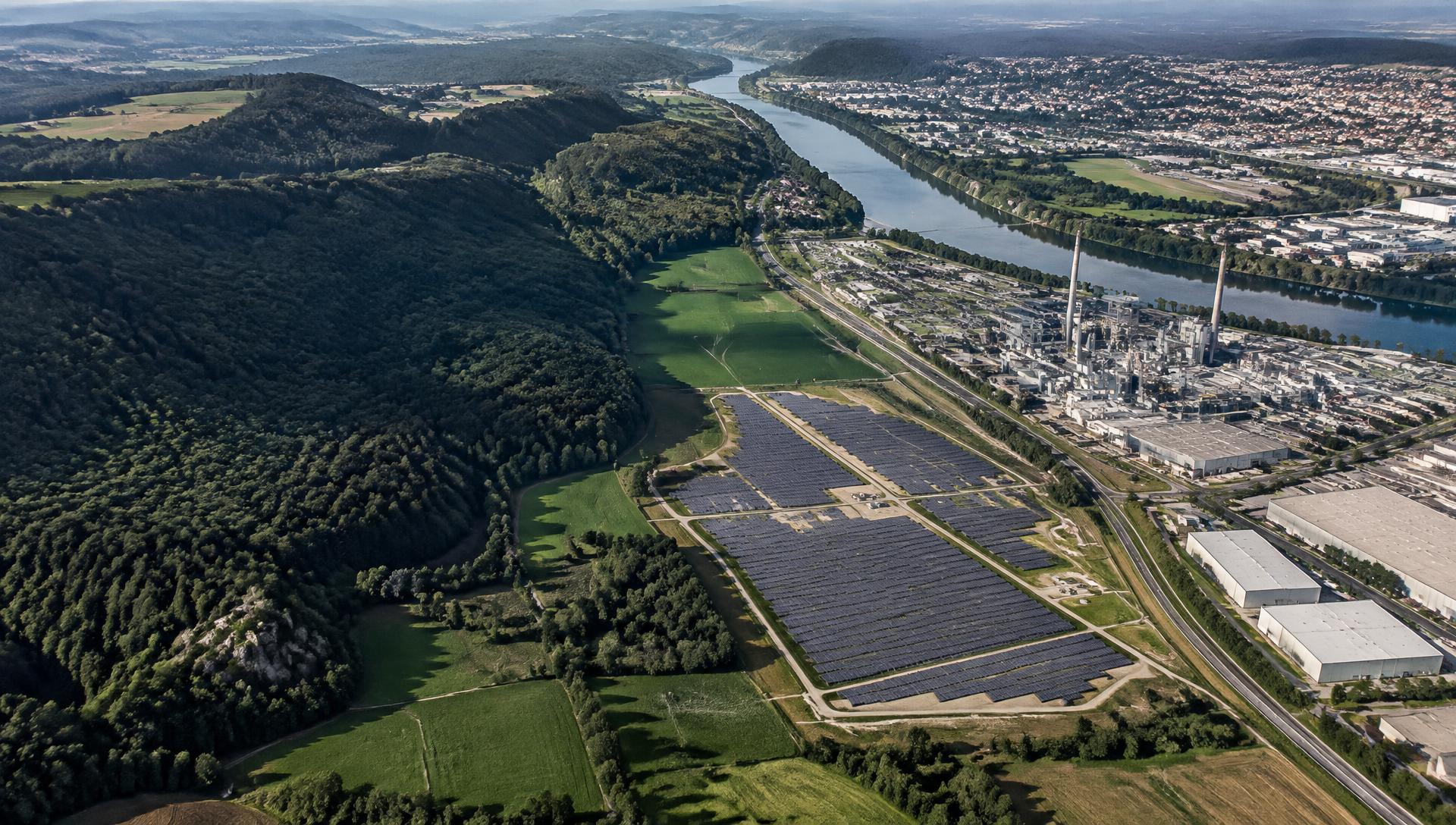
Drone solutions for a more energy-efficient future
We are building a specialised service for the energy transition: using drones, radiometric thermography, photogrammetry, LiDAR and GIS, we inspect PV systems, buildings and energy and utility infrastructure – making heat loss, defects and risks visible before they turn into failures.
Our approach
For Sky Topography, a drone is not the end product but a platform for data acquisition. Individual measurements become structured geodata, models, analyses and reports for planning, maintenance and monitoring.
RGB · Thermal · LiDAR · RTK
Photogrammetry · Point clouds · DSM · DTM
GIS · Terrain · Thermal · Change detection
Maps · 3D models · GIS data · Reports
Planning · Maintenance · Monitoring · Investment
Sensor platform
Not every question can be answered with the same technology. That is why we combine sensors and geospatial methods depending on the project.
Radiometric thermal data documents thermal anomalies spatially and traceably.
High-resolution aerial imagery forms the basis for precise mapping and three-dimensional models.
GIS connects individual datasets into spatial information and makes complex relationships visible.
High-density measurement points capture terrain, vegetation and infrastructure even where images alone are not sufficient.
LiDAR feature
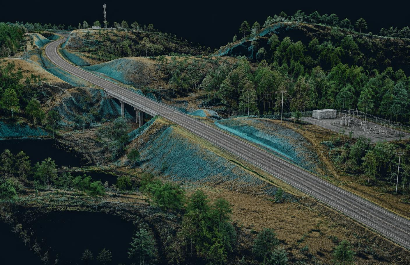
LiDAR complements photogrammetry and conventional aerial imagery with high-density 3D measurement data – especially for terrain, vegetation, infrastructure corridors, drainage and complex surfaces.
Fields of application
The sensor is chosen to fit the task – not the task to fit the sensor. Established core areas are being extended with new geospatial competences.
Inspection, documentation and spatial analysis of renewable energy assets.
Examining and documenting buildings from a thermal and spatial perspective.
Thermographic condition analysis of electrical and utility assets – contact-free, from a safe distance and with clear documentation for maintenance.
Aerial and sensor data become precise spatial models and structured geodata.
Geodata documents landscapes, vegetation and climate- or environment-related changes.
Shared data foundations for municipal buildings, infrastructure and land.
Spatially documenting water bodies, drainage, terrain and environmental infrastructure and examining changes.
Spatial documentation
Viewing terrain, vegetation, drainage and change in context.
Water & environment
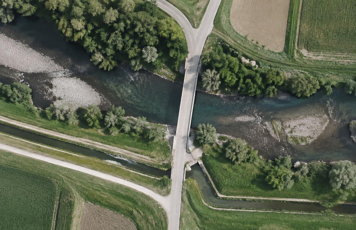
Repeated drone and LiDAR datasets can systematically document erosion, vegetation change, drainage, riverbank development and terrain.
The geodata provides a basis for further investigation. Hydrology, environmental engineering or laboratory analysis are added with suitable specialist partners where required.
Technology matrix
The matrix shows typical combinations. The exact sensor set depends on project goals, environment and required data depth.
| Application | RGB | Thermal | Photogrammetrie | LiDAR | GIS |
|---|---|---|---|---|---|
| Solar park | suitable | suitable | suitable | — | suitable |
| Infrastructure corridor | suitable | suitable | — | suitable | suitable |
| Building | suitable | suitable | suitable | — | suitable |
| Municipal area | suitable | suitable | — | suitable | suitable |
| Flooding / drainage | — | — | suitable | suitable | suitable |
| River / environment | suitable | suitable | — | suitable | suitable |
| Erosion / terrain | suitable | — | suitable | suitable | suitable |
| District heating | suitable | suitable | — | — | suitable |
* Thermal where the task and environmental conditions make it useful.
The sensor is chosen to fit the question – not the question to fit the sensor.
Project phases
Data can be captured not only for individual inspections but, going forward, across several phases of an energy or infrastructure project.
Terrain survey · LiDAR · Orthomosaic · DTM · GIS
Progress mapping · 3D documentation · Volumes · Planned vs. actual
RGB inspection · Thermography · Asset mapping · Monitoring · Reporting
Heat infrastructure
Under suitable environmental conditions, aerial imagery can provide indications of unusual temperature patterns. GIS supports spatial documentation and prioritisation for further inspection.
Municipal perspective
Municipal buildings, roof areas, thermal anomalies, vegetation, terrain, drainage and infrastructure can, going forward, be brought together in a GIS-based overview.
Target vision
Municipal Energy & Infrastructure Map
Interdisciplinary knowledge
Complex questions require more than flight experience. Sky Topography is building a competence network that integrates technical and academic backgrounds into shared workflows.
New specialist competences are built through team members, internal training, project partners and specialists, and systematically turned into reproducible technical processes.
Competence network
Knowledge, methods, technologies and project workflows are shared between both locations and developed together.
GERMANY
Aerial intelligence · Thermography · LiDAR · GIS · Photogrammetry · Technical inspections · Technology development
KOSOVO & WESTERN BALKANS
Energy efficiency · Solar · Buildings · Mapping · GIS · Water & environment · Regional projects
Digital solutions
In-house tools support reporting, training and standardised technical workflows.
Protected learning and training platform for internal education, technical workflows and practical qualification.
Digital reporting platform for technical and thermographic inspections. Planned launch: January 2027.
Deliverables
Structured, compatible results for planning, analysis, documentation and further expert assessment.
Orthomosaic
Thermal dataset
LiDAR point cloud
DSM
DTM
Contour lines
3D model
GIS project
Change detection
Environmental map
Technical report
ThermoBericht
Projects & partnerships
We are looking for projects and partnerships with organisations that want to use drone and geodata for better technical or spatial decisions.
Our direction
Energy, buildings, infrastructure, water, environment and urban development are interconnected. We bring together sensors, geodata and expertise to make complex relationships visible and usable.
Project enquiry
Whether thermal inspection, LiDAR point cloud, terrain model, GIS dataset, environmental monitoring or an individual project idea – we are happy to discuss your question and the right technology.
Germany · Kosovo · Western Balkans